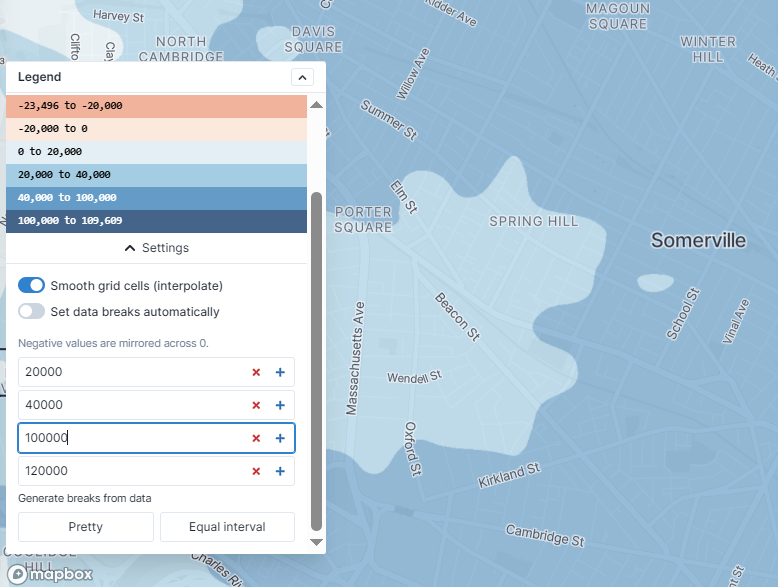
Setting custom breaks for the regional analysis map
The latest version of Conveyal (including v7.5 of the R5 routing engine):
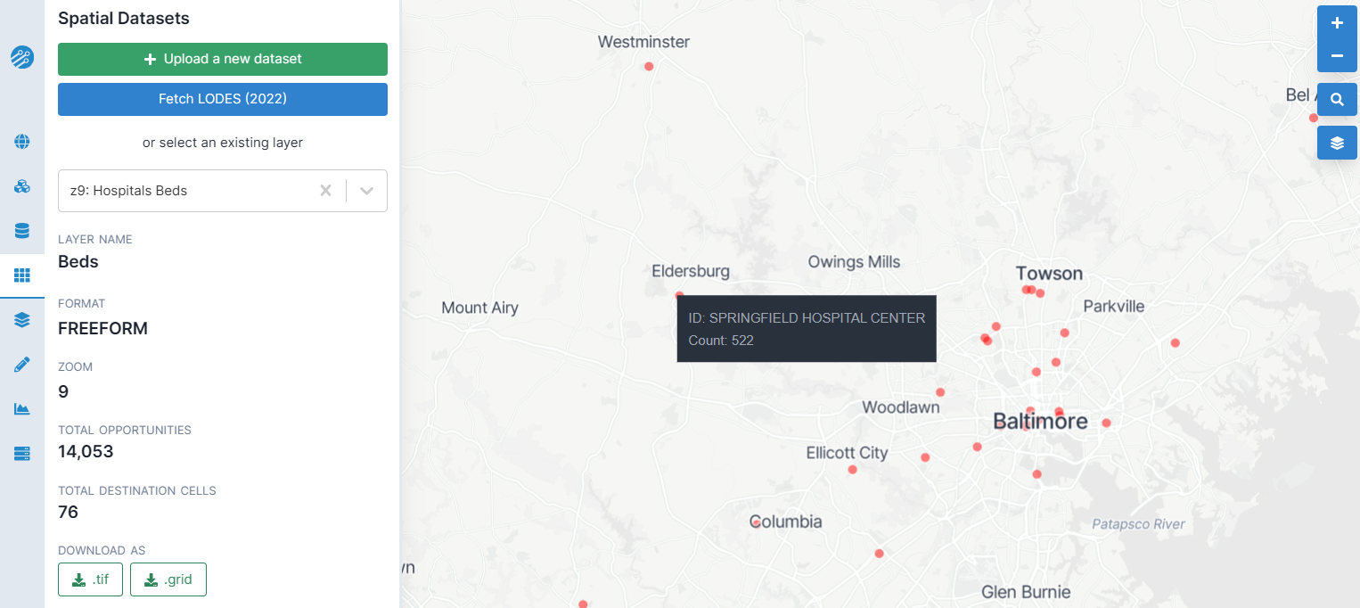
- Accelerates map display for completed regional analysis results (#986) and enables custom breaks for color bins
- Adds the ability to download a combined .zip file of all destination layer, threshold, and travel time percentile combinations for a regional analysis
- Uses requested walking speed (rather than a hard-coded default) when linking origin and destination points to the street network
- Improves handling of origins and destinations linked to the same network edge (#980). This change may result in lower accessibility results compared to past versions of R5, especially near long network edges and when using low travel time cutoffs or decay functions.
- Limits application of custom elevation data to walk and bike modes, not car (#972)
- Enables new options for sidewalk restrictions, such as prohibiting bicycles or requiring step-free paths (#976).